
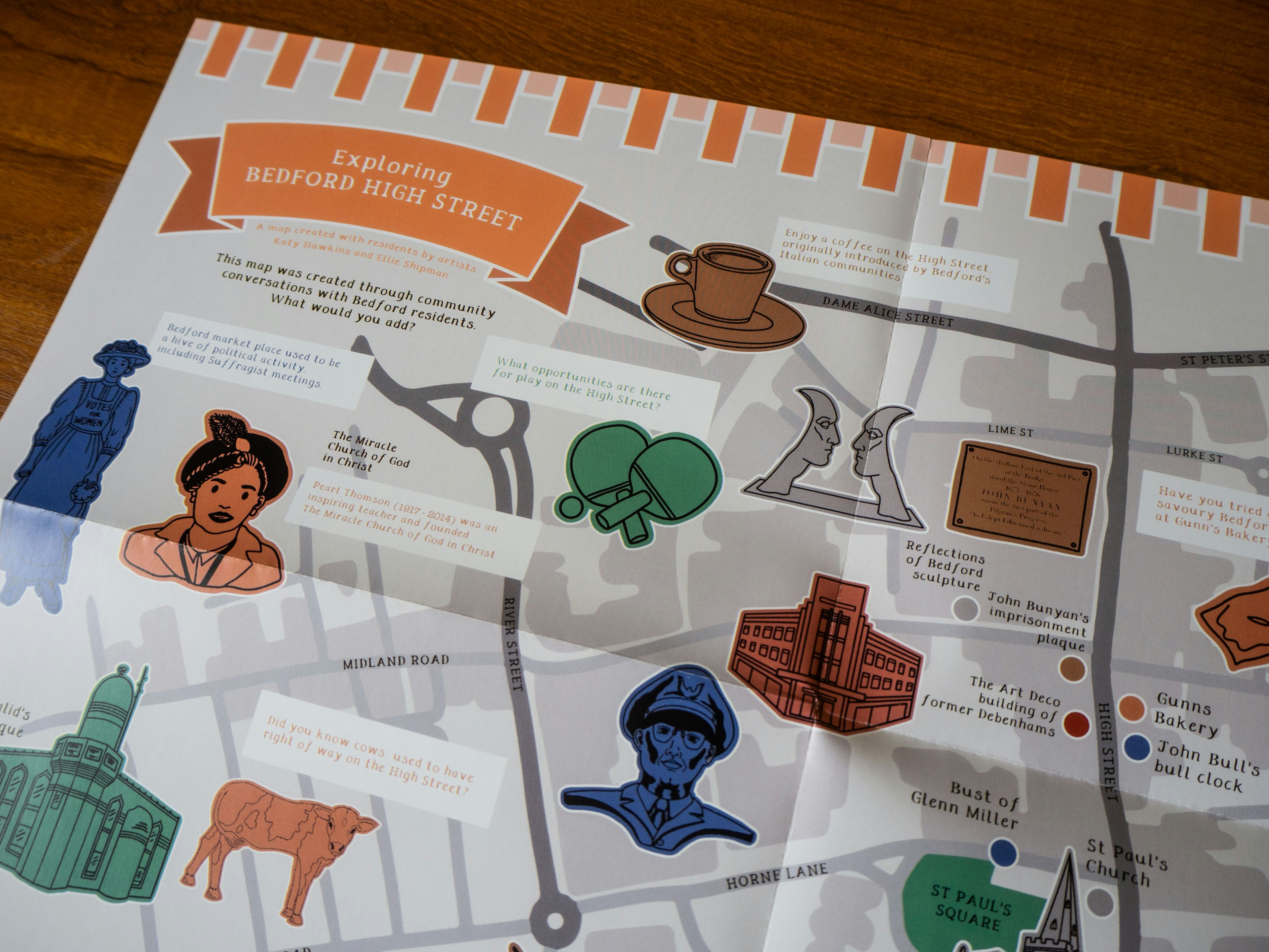
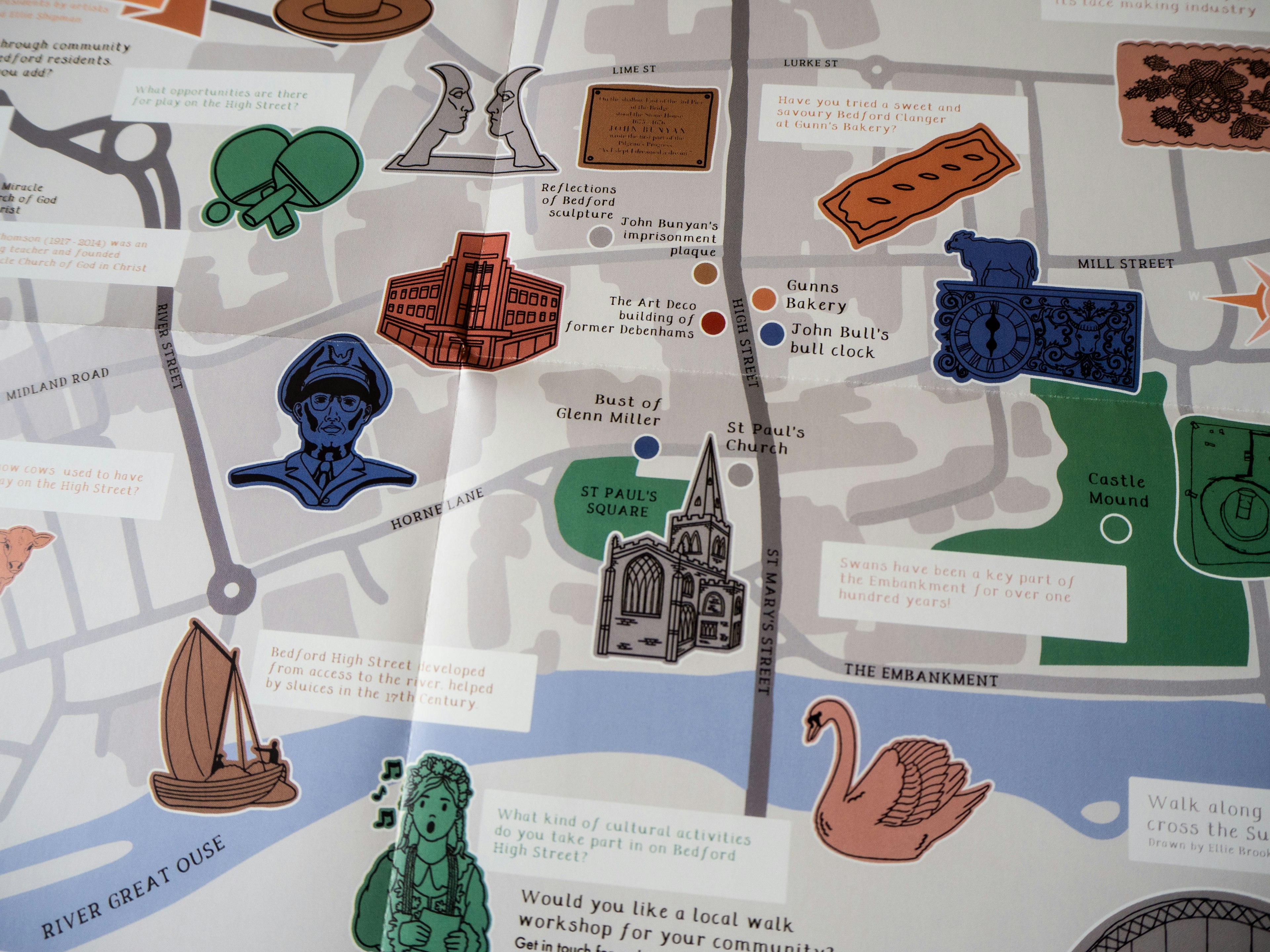
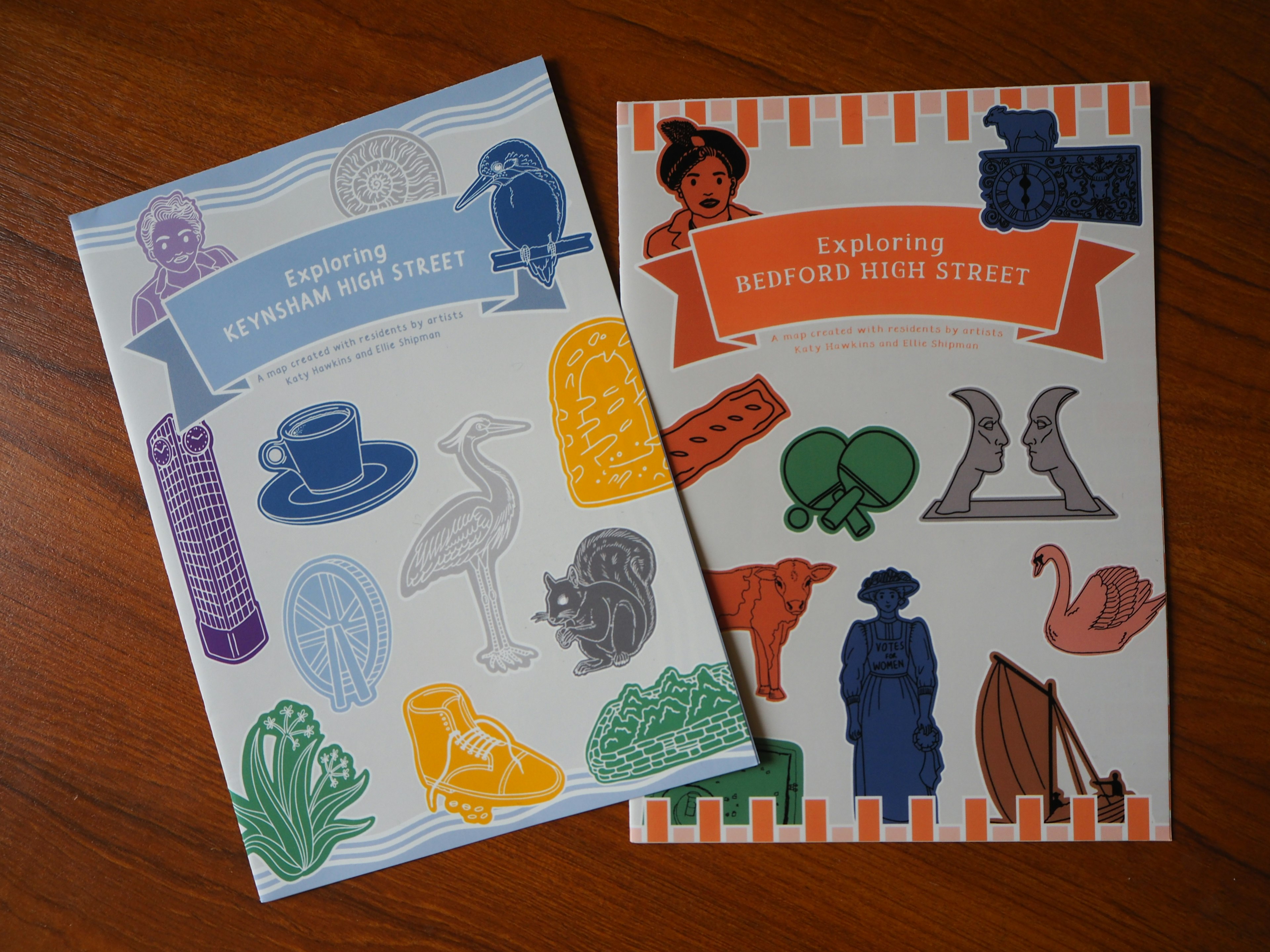
Illustrated Maps of Keynsham and Bedford for Historic England
Maps
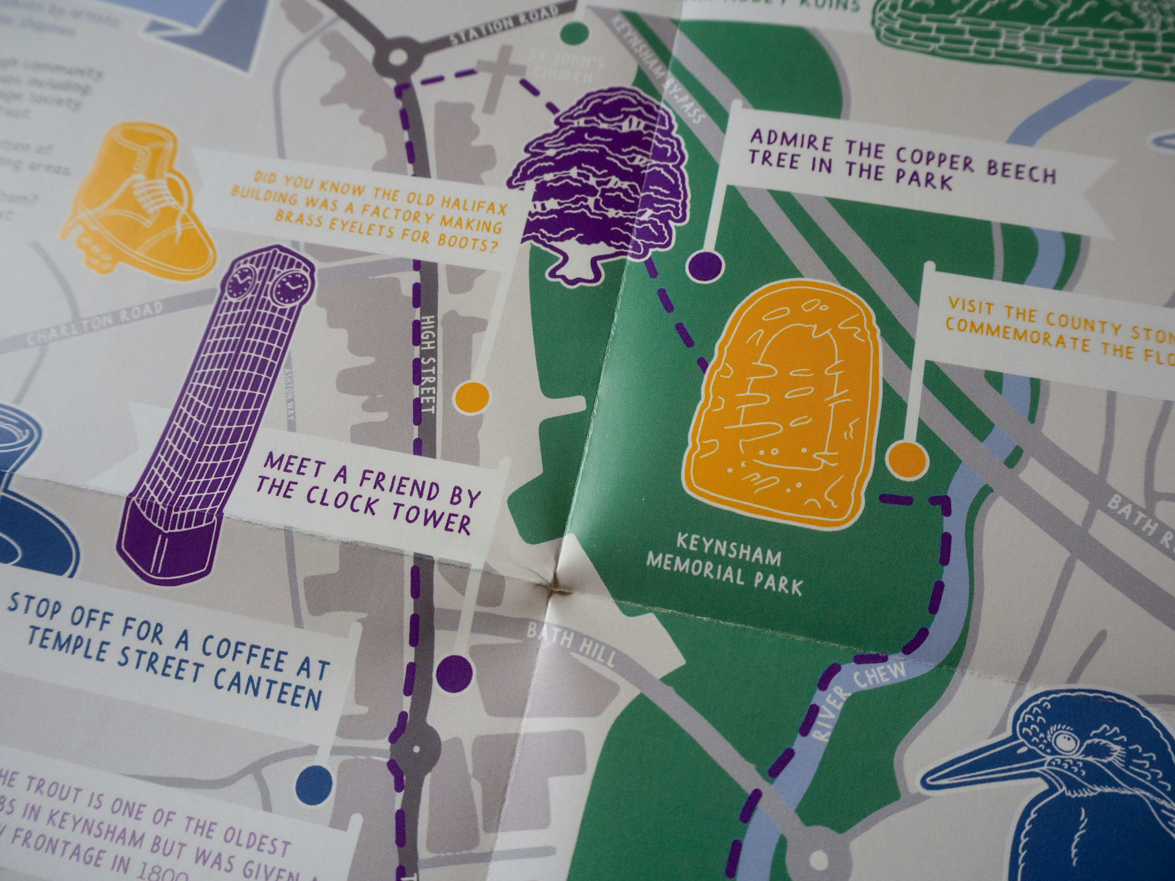
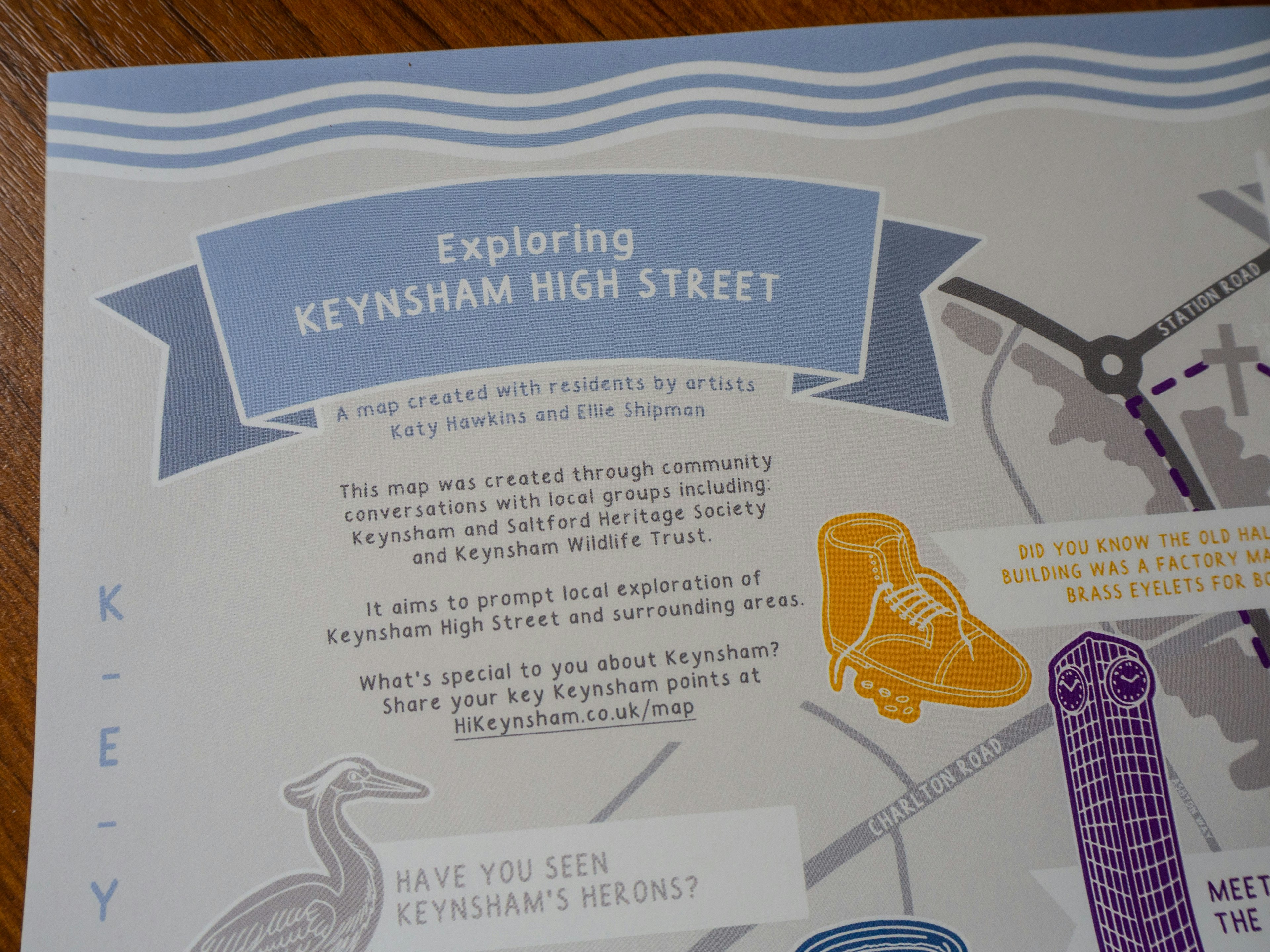
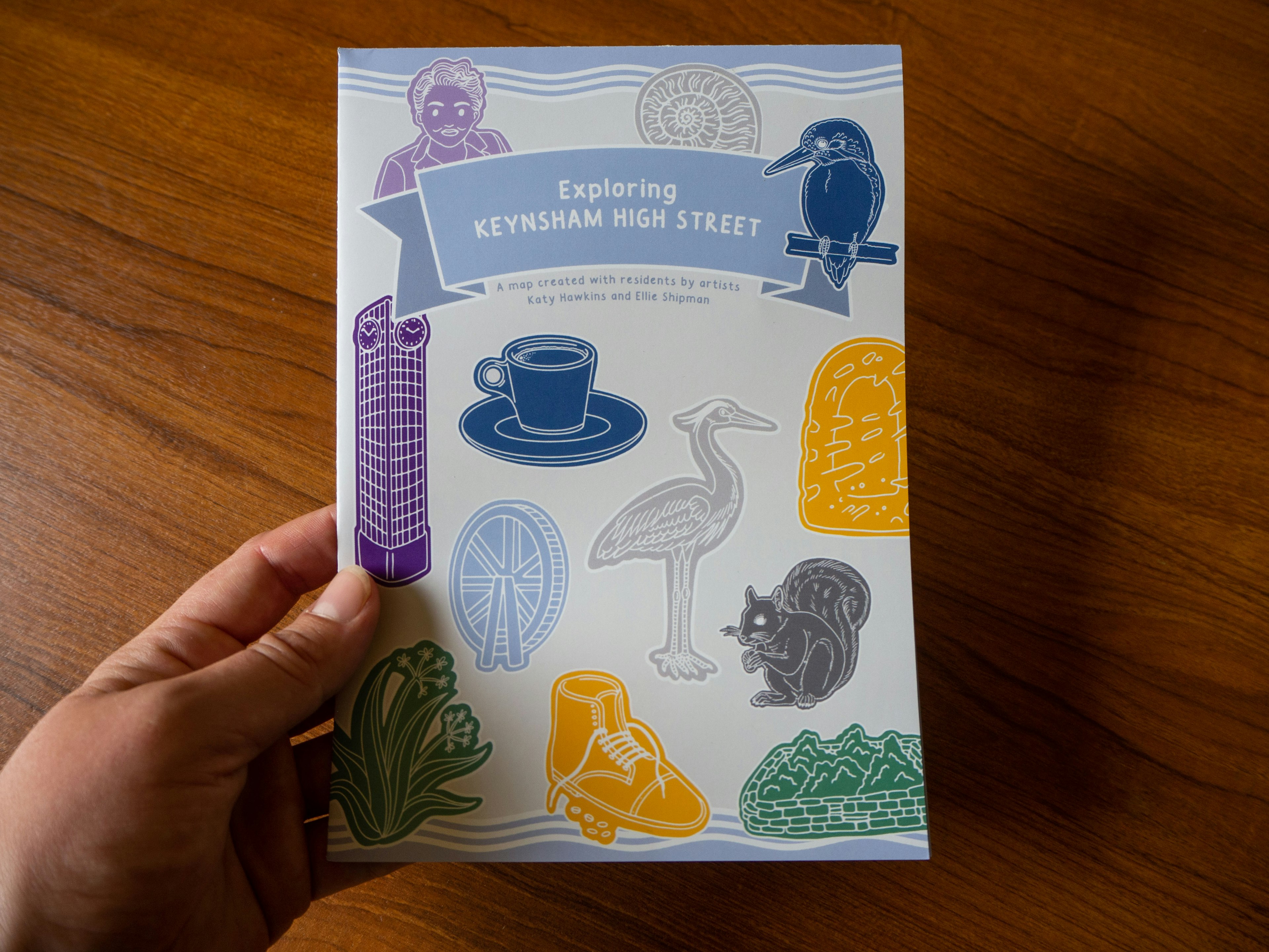
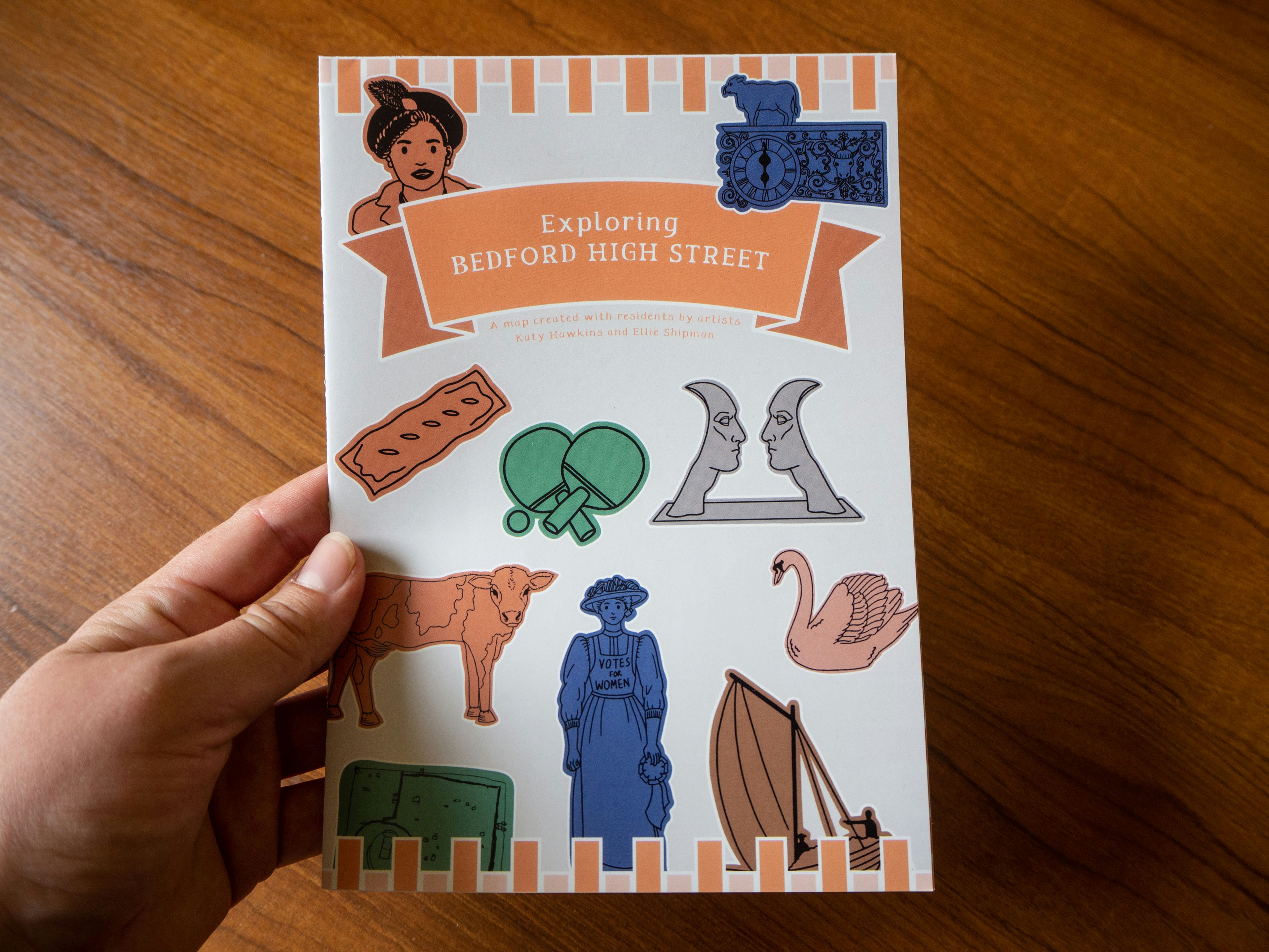
These maps were an illustrated output as part of a project commissioned by Historic England to prompt exploration and new perspectives on High Streets with local residents.
Community conversation informed the content of the maps in Bedford and Keynsham, and the printed versions were then distributed to local groups.
Read more about the wider project here.